CanadaGPS.ca
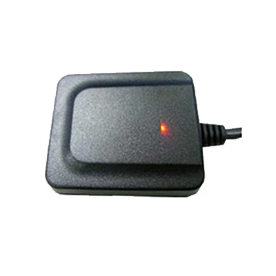
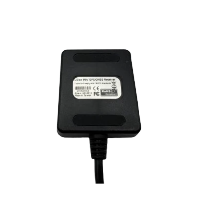
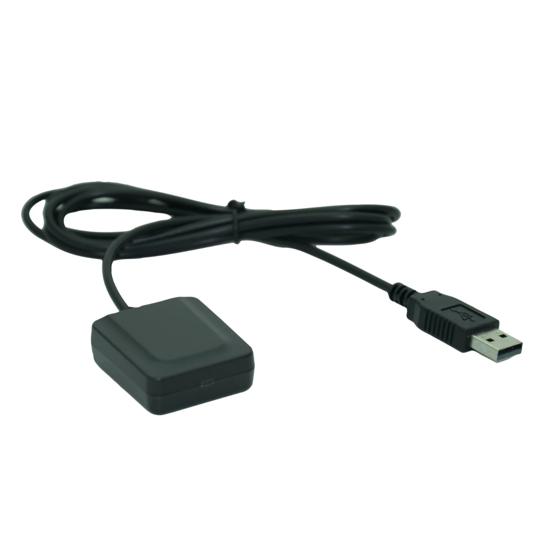
Navisys GR-8018U 50Hz USB GNSS Receiver (u-blox M9V, Indoor UDR “Untethered Dead Reckoning”, Accelerometer & Gyroscope, IPX7 Waterproof, 1.5m Accuracy)
Navisys GR-8018U 50Hz USB GNSS Receiver (u-blox M9V, Indoor UDR “Untethered Dead Reckoning”, Accelerometer & Gyroscope, IPX7 Waterproof, 1.5m Accuracy)
Country of Origin: Taiwan
Couldn't load pickup availability
The GR-8018 is a Industrial-Grade high-performance GNSS receiver built on the advanced u-blox NEO-M9V chip. Designed for robust positioning accuracy, it integrates cutting-edge technologies for challenging environments and high-speed tracking applications.
Key Features
1. High Update Rate
• Supports up to 50 Hz fused GNSS+DR update rates for precise, real-time tracking of high-speed objects like racing cars.
50Hz High Update Rate Demo:
Unlike the dotted lines typically seen with low-speed GNSS, the data points in this demo create a smoothly presented curve, showcasing improved tracking.

2. Untethered Dead Reckoning (UDR)
• Features built-in accelerometer and gyroscope sensors for Untethered Dead Reckoning (UDR).
• Combines GNSS and DR measurements to maintain continuous positioning in tunnels, basements, parking garages, and during complete signal loss.
• Navigation starts immediately upon power-up, even before a GNSS fix is established.
Indoor Demo:
This demonstration involves driving into an indoor parking tower. Start by ascending to the second floor along the outer rectangular path, then descend using the inner rectangular path, as shown in the image below.
The total indoor route covers approximately 400 meters. The logged path closely follows the actual route, with minor deviations caused by travel-related errors.

3. High Sensitivity and Reliability
• Sensitivity with GPS+GLONASS+Galileo+BeiDou:
• Acquisition: -147 dBm
• Tracking & navigation: -159 dBm
• Supports AssistNow Online for assisted GNSS, ensuring faster positioning.
• Includes RF interference and jamming detection, as well as spoofing detection and reporting for enhanced reliability.
4. Multi-Constellation Support
• Concurrent support for GPS, Galileo, QZSS, SBAS, GLONASS, and BeiDou navigation systems.
• SBAS support includes WAAS, EGNOS, MSAS, and GAGAN, along with QZSS L1S SLAS
• Seamlessly handles multiple satellite systems to maximize visibility and accuracy, even in urban canyons and dense environments.
5. Durable and Flexible Design
• Waterproof (IPX7): Built to withstand harsh conditions.
• Built-in Magnet: Easy attachment for various applications.
• LED Indicator: Provides clear position fix status.
• Fully EMI-shielded for industrial reliability.
• Operates in a wide temperature range: -40°C to 85°C.
6. Multiple OS Support
• Supports multiple OS platforms, including Windows, Linux, and Android.
Applications
• Ideal for high-speed tracking (e.g., racing vehicles).
• Reliable for use in urban environments, tunnels, and other areas with poor satellite visibility.
• Suitable for industrial and outdoor applications requiring robust and precise positioning.
The GR-8018 GNSS Receiver combines state-of-the-art technology, rugged durability, and flexible compatibility, making it an exceptional choice for demanding positioning tasks.
Technical Specifications
General Specifications
• Receiver Type:
• 92-channel u-blox M9 engine
• Supports GPS L1 C/A, SBAS L1 C/A
• QZSS L1 C/A/S, Galileo E1 B/C
• GLONASS L1OF (1598.0625–1605.375MHz)
• BeiDou B1I (1561.098MHz)
• SBAS Support:
WAAS, EGNOS, MSAS, GAGAN
• Position Accuracy (CEP, 50%):
• Horizontal: 1.5m
• Vertical: 3m
(Open sky with SBAS and QZSS enabled, -130dBm, >6 satellites)
• Velocity Accuracy:
0.08m/s (68%@30m/s)
• Dynamic Attitude Accuracy:
• Heading: 0.3°
• Pitch: 0.4°
• Roll: 0.6° (68%@30m/s)
Navigation Performance
• Update Rate:
• 50Hz for RMC, GGA messages
• 1Hz for VTG, GLL, GSA, GSV messages
• Maximum Altitude: 80,000m
• Maximum Velocity: <500m/s or 1,800km/h
• Maximum Dynamics: ≤4g
Electrical Specifications
• Power Supply: 3.3 ~ 5.5 VDC
• Power Consumption: 52mA (average during USB tracking)
• Protocols: NMEA, u-blox Binary
Environmental Specifications
• Operating Temperature:
• Without battery: -40°C to 85°C
• With battery: -20°C to 60°C
• Storage Temperature:
• Without battery: -40°C to 85°C
• With battery: -20°C to 60°C
• Operating Humidity: 5% ~ 95% non-condensing
• Waterproof Rating: IPX7
Time and Sensitivity
• Position Error without GNSS: 10% of distance traveled with UDR (Untethered Dead Reckoning)
• Signal Accuracy:
• RMS: 30ns
• 99%: 60ns
• Time to First Fix (TTFF):
• Hot Start: 2 seconds
• Cold Start: 24 seconds (-130dBm, 50%)
• Sensitivity (Autonomous):
• Acquisition: -147dBm
• Tracking & Navigation: -159dBm
• Time Pulse Frequency: 0.25Hz ~ 10MHz
Mechanical Specifications
• Dimensions: 40mm x 45mm x 18mm
• Weight:
• 103.4g (GR-8018R with 3m cable)
• Cable Lengths (Default):
• GR-8018U: 1.5m
• GR-8018R: 3m
• GR-8018T: 1m
• Fixing: Strong magnet at the bottom
• LED Indicator: Amber
Interface and Connectivity
• Data Output: NMEA 4.11 (default), 4.10, 4.0, 2.3, 2.1
• UART Configuration:
• N, 8, 1
• Baud Rate: 4800–921600bps (Default: 115200bps)
• Priority NMEA Messages:
• Up to 50Hz: RMC, VTG, GNS, GGA
• Non-Priority NMEA Messages:
• Up to 20Hz: GSA, GSV, GST, ZDA
How to Perform Untethered Dead Reckoning (UDR) Calibration:
To ensure optimal performance, follow these steps to calibrate the UDR system:
1. Initial Setup:
• Drive to an open area, such as a parking lot, with strong GNSS signal reception.
• Remain stationary for at least 3 minutes to achieve a reliable GNSS fix.
2. Figure-of-Eight Pattern:
• Drive in a figure-of-eight pattern three times, or alternatively, perform approximately 10 left and right turns (each at least 90 degrees) at a minimum speed of 30 km/h.
3. Straight-Line Driving:
• Drive in a straight line for at least 100 meters at a minimum speed of 40 km/h.
4. Monitoring Calibration Status:
• If using NaviViewerM9V, you can monitor the calibration status. The transitions will appear similar to the example shown below.

5. Calibration Status Example:
• The calibration status transitions will look similar to the example illustrated below.


Product Resources
Official Documents:
Driver Downloads:
(For Windows 10, Windows 11, Android, and Linux, native drivers are already included with the operating system. There’s no need to download or install additional drivers. Simply plug in the GNSS receiver, and it will be recognized and start working immediately.)
-
 Windows Drivers
-
 GNSS Sensor Device driver for Windows 10 /11
-
 WinCE for x86
-
 WinCE for ARM/xScale
-
 MacOS driver
-
 Linux Driver for Linux Kernel is V2.6.15 0 V5.4
-
 USB GNSS driver already built-in to Linux OS 5.5 and above. No need to downloads.
-
 Android connection instruction
Tool Downloads:
How to Articles and Blogs:
-
 How to connect a GPS/GNSS Receiver to Google Earth on Windows?
-
 How to connect an usb GPS receiver to a Linux computer?
-
 How to connect an USB GPS receiver with an Android Device?
-
 Uninstall “Windows Location Sensor”: A Step-by-Step Guide
-
 How to connect a GNSS Receiver to Windows Maps (or Windows Location Service)??
Tech Support Topics and Forums:
